
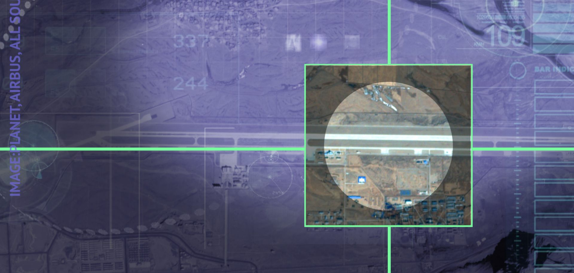
Satellite imagery shows that China and India are pursuing a wide-ranging strategic buildup near the Doklam Plateau.
China and India faced off last year in a tense military standoff on the Doklam Plateau on the disputed Line of Actual Control (LAC) high in the Himalayas. Although the impasse was temporarily resolved in late August through a negotiated drawdown, it has been clear all along that the LAC will remain a contentious border because both countries will continue to seek an advantage in this difficult terrain . Recent reporting, particularly in the Indian press, has highlighted how India and China are bolstering their infrastructure and forces along the LAC, including through the stationing of additional ground units near the plateau. Satellite imagery acquired by Stratfor working with its partners at AllSource Analysis helps illuminate the scope of these developments by looking at the air and air defense aspects of this strengthening of forces.
