
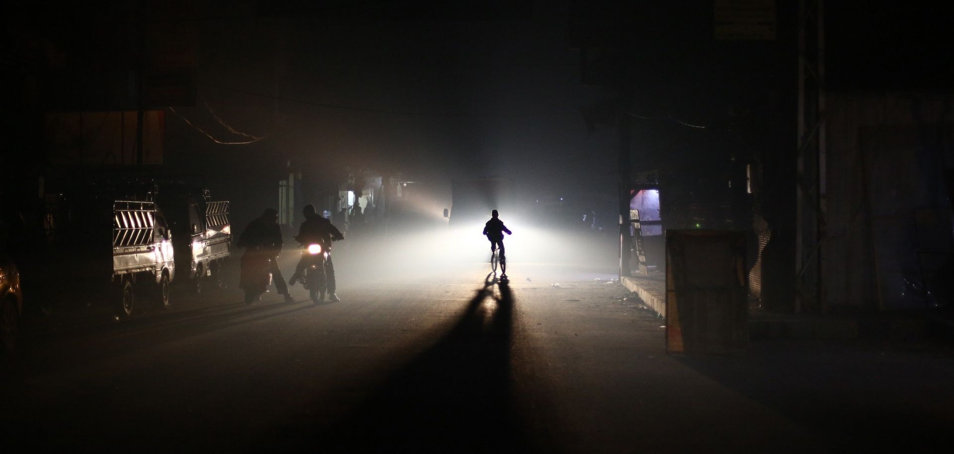
Residents of the besieged Syrian town of Douma ride through the street at night during an electricity shortage on Jan. 19, 2015.
The outbreak of conflict in Syria in 2011, which quickly escalated to a full-blown civil war , has done tremendous damage to the country. One compelling way to visualize the devastation is using satellite night-light imagery. Imagery that depicts electricity use at night is an illuminating tool that can be used to track population trends, economic developments and geopolitical shifts. One of the most widely known examples of this approach is the set of images that highlight the stark difference in nighttime electricity use between South Korea and the less-developed North Korea. The image below represents electricity use in the Levant area of the Middle East by depicting the evolving intensity of night lights between 2012 and 2016. As millions of refugees fled Syria and warfare destroyed the country's electricity network, the night-light intensity in Syria dropped precipitously between 2012 and 2016.
